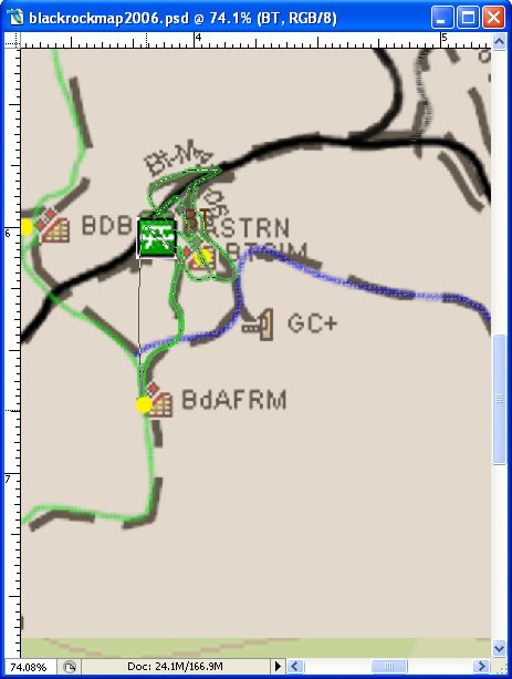
Been working on create a new trail map for Black Rock for past several weeks. Got an early B-day present back in March (a Garmin GPS MAP60CSx) that does a great job of capturing tracks - even under deep cover. Took one morning to ride all of the trails and drive the roads also. Almost ready to wrap the map into an Adobe Illustrator document and have printed for distribution at the local bike shops. Also put the digital map up on Black Rock website and made clickable image map out of it - so now people can click trail features and see pictures taken at that spot. Wasn't my idea - been done before - for North Shore trails (up near Vancouver, B.C.).

posted by Joe R at 8:32 PM
![]()


0 Comments:
Post a Comment
<< Home